Gurusparsh Strawberry Farmstay in Panchgani – better than all those fancy villas
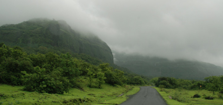
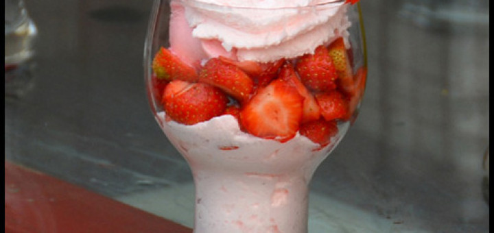
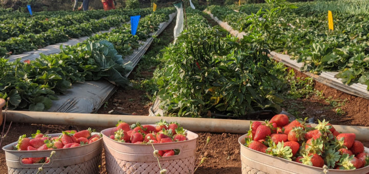
When you are welcomed with a bunch of freshly plucked strawberries, you know that you in for a sweet stay! Panchgani & Mahabaleshwar are famous for strawberries, particularly in the winter-spring season from Jan-Mar....